
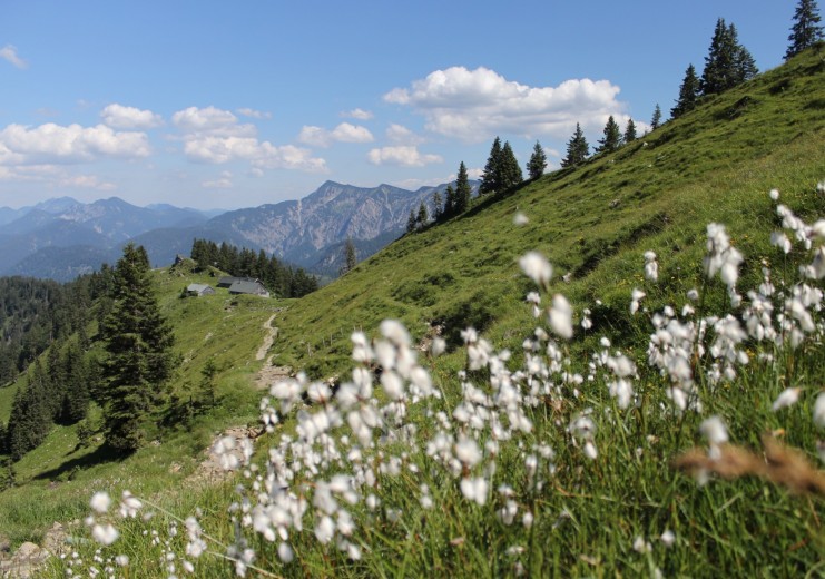
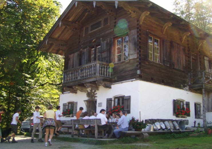
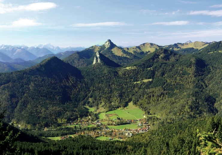


Kreuth is situated at 787 m above sea level in the heart of the Bavarian Prealps, surrounded by the peaks of the so called “Mangfallgebirge” mountain range. Although Kreuth and its mountains are not the highest ones, the region offers an almost endless potential for all kinds of activities and difficulties. You can start with an easy hike up to one of the numerous traditional alpine meadows and end up doing a multi-day hut to hut traverse of the entire mountain range. For the mountainbikers it is a challenge itself pick an itinerary amont all the options and the rock climber will most likely fall in love with the high quality routes on limestone walls and isolated spires towering high above the valley floor.
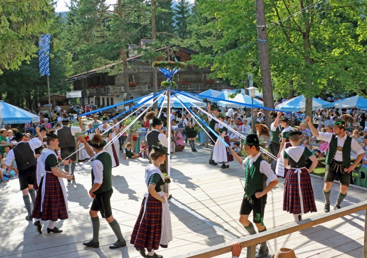
Despite its proximity to Bavaria’s capital Munich and the rather busy Tegernsee lake, Kreuth has managed to keep its own (much slower) pace, his unique charm and traditional lifestyle. People in Kreuth are happiest when they can enjoy nature on a hike or bike trip, celebrate some of the many traditions and share it with the curious visitor.
General information
Kreuth is located at 787 m above sea level
Highest point: Halserspitz (1.862 m)
Population: 3.651 (01.01.2018)
Villages
- Enterbach
- Enterfels
- Glashütte
- Kreuth
- Point
- Riedlern
- Schärfen
- Scharling
- Wildbad Kreuth
Mountain range
Mangfallgebirge
Main peaks
- Halserspitz (1,862 m)
- Hirschberg (1,668 m)
- Leonhardstein (1,452 m)
- Risserkogel (1,826 m)
- Roß- und Buchstein
(1,698 m / 1,701 m) - Setzberg (1,706 m)