


")


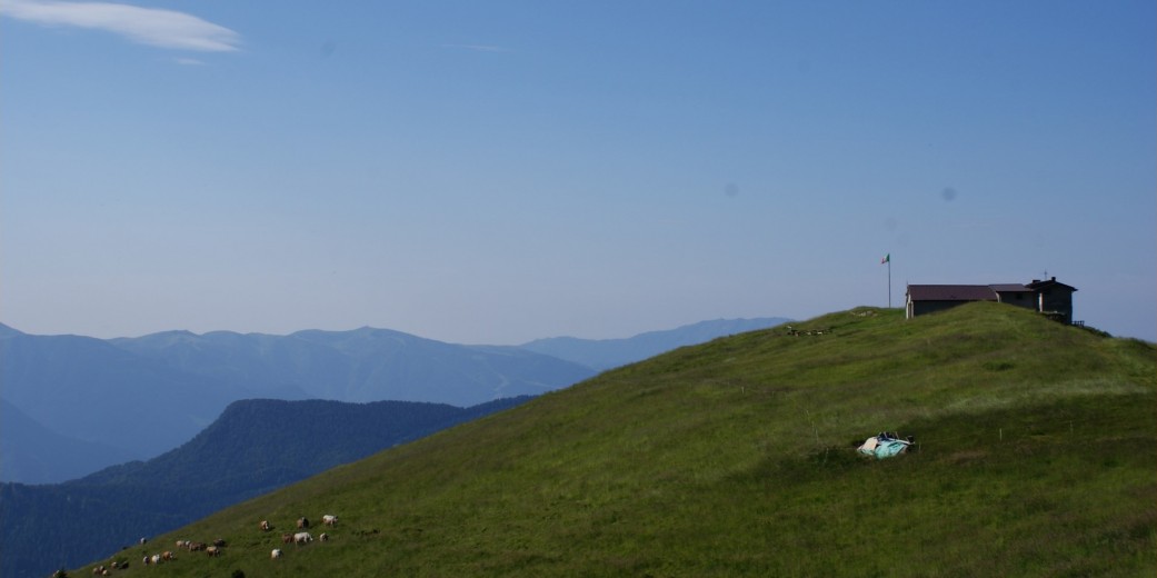
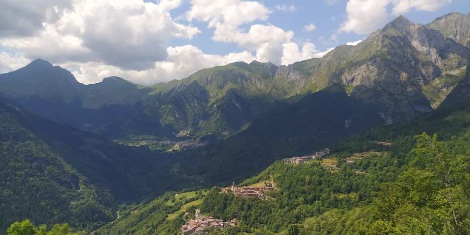
The Val di Lozio has a considerable difference in altitude of 2,000 meters between its lowest (519 m) and highest point, the Cima Bachetta (2.549 m). Due to this great difference in altitude, this remote side valley of the “Valle Camonica” is home to diverse landscapes and a rich variety of flora and fauna.
From the deep gorge of the river Lanico, the route leads through meadows and forests of the cultivated landscape up to the steep rock faces of the surrounding limestone mountains.
General information
Height above sea level of Laveno: 1.020 m
Highest point: Cima Bachetta (2.549 m)
Resident population in the municipality: 353 inhabitants (Dec. 2022)
Hamlets
- Laveno
- Sucinva
- Sommaprada
- Villa
Mountain Ranges
- Bergamasque Alps
- Mountain massif Concarena
Main peaks
- Cima Bachetta (2.549 m)
- Pizzo Camino (2.492 m)
- Cimone della Bagozza (2.409 m)
- Sossino o Susino (2.399 m)
- Monte Vaccio (2.338 m)
- Monte Arano (1.941 m)
- Mignone (1.743 m)