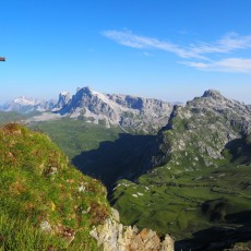
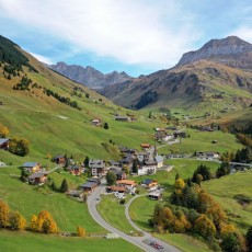
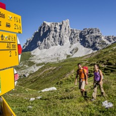
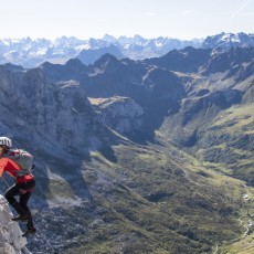
At the foot of the Rätikon (mountain range), nestled in green slopes and surrounded by impressive limestone cliffs, lies the small Walser village of St. Antönien at 1420 metres above sea level. The local museum and most of the hotels of St. Antönien stand densely packed around the church, forming a small village centre named “Platz”. This is typical of a Walser settlement, as is the scattered location of the rest of the houses spread out deep into the side valleys and far up the slopes. Surrounded by numerous peaks, St. Antönien is the ideal starting point for those seeking peace and quiet, nature lovers and active sports enthusiasts at any time of the year. Whether gentle and hilly or demanding and alpine – everyone will find a suitable mountain experience. In summer, well-maintained hiking trails lead to all corners of the “Bergsteigerdorf”. In the Rätikon, climbing enthusiasts encounter grippy limestone climbs of all degrees of difficulty , while nature lovers will find a rich alpine flora in the side valley Gafia. In winter, the extensive side valleys offer countless ski touring routes and snowshoe hikers as well as cross-country skiers will have a great time in the winter wonderland.
General information
Village centre: 1420 m a.s.l.
Highest point: Madrishorn (2826 m)
Inhabitants (St. Antönien & Ascharina, 2020): 338
Municipality: Luzein
Villages
St. Antönien
Mountain range
Rätikon
Important summits
- Madrisahorn (2826 m)
- Sulzfluh (2817 m)
- Schijenflue (2626 m)
- Schijenzan (2370 m)
- Wiss Platta (2627 m)
- Rätschenhorn (2703 m)
- Chüenihorn (2412 m)
