


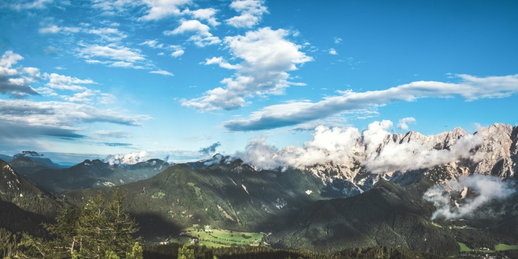

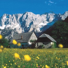

Jezersko, which lies at the foot of the Kamnik-Savinja Alps and the Karawanks, is one of a hundred landscape areas defined by the Spatial Development Strategy of Slovenia as having recognizable features which are important at the national level. The mountains above the valley form an impressive cirque composed of the summits of Makekova kočna and Ravenska kočna, while further west, there are two more valleys which are more sparsely populated: Komatevra and Podstoržič. The village is quite long, reaching all the way from the Kokra River in the south to the Jezerski vrh border crossing with Austria in the north. Tourism in Jezersko has always been based on the incredible mountains which give the village its identity. Rich geological history, impressive mountain walls, vast forests, valleys sculpted by glaciers, remarkable biodiversity, old farms, and a rich heritage of mountain
hiking and climbing: all this and more awaits you in Jezersko.
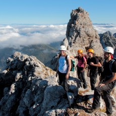
Jezersko provides a multitude of activities: numerous hiking trails of all difficulties, summer and winter climbing routes, magical ski tours which also include steep and technical descents, many kilometres of cross-country skiing and mountain bike trails, ice-skating and snowshoeing.
Panoramic Camera
Click here to see Jezersko live.
General information
Height above sea level of Jezersko: 880
Highest point: 2558 (Grintovec)
Resident population in the municipality: 627 (2017)
Hamlets
- Spodnje Jezersko
- Zgornje Jezersko
Mountain ranges
- Karawanks
- Kamnik-Savinja Alps
Main peaks
- Grintovec (2,558 m)
- Jezerska Kočna (2,540 m)
- Skuta (2,532 m)
- Dolgi hrbet (2,473 m)
- Kranjska Rinka (2,453 m)
- Koroška Rinka (2,433 m)
- Storžič (2,132 m)
- Velika Baba (2,127 m)
- Goli vrh (1,787 m)
- Veliki vrh (1,742 m)
- Stegovnik (1,692 m)
- Virnikov Grintovec (1.654 m)
- Kozji vrh (1,628 m)