
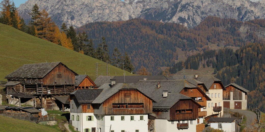


“Lungiarü, tl Parch Natural Pöz Odles – Dolomites”
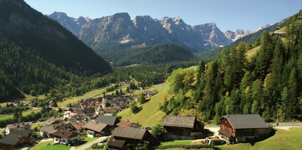
Lungiarü is located at 1.400 meters in the valley of Lungiarü, a side valley of the Gadertal in the western South Tyrolean Dolomites. The valley begins at the village of St. Martin in Thurn, an extends in a southwesterly direction towards the mountains of the Puez group.
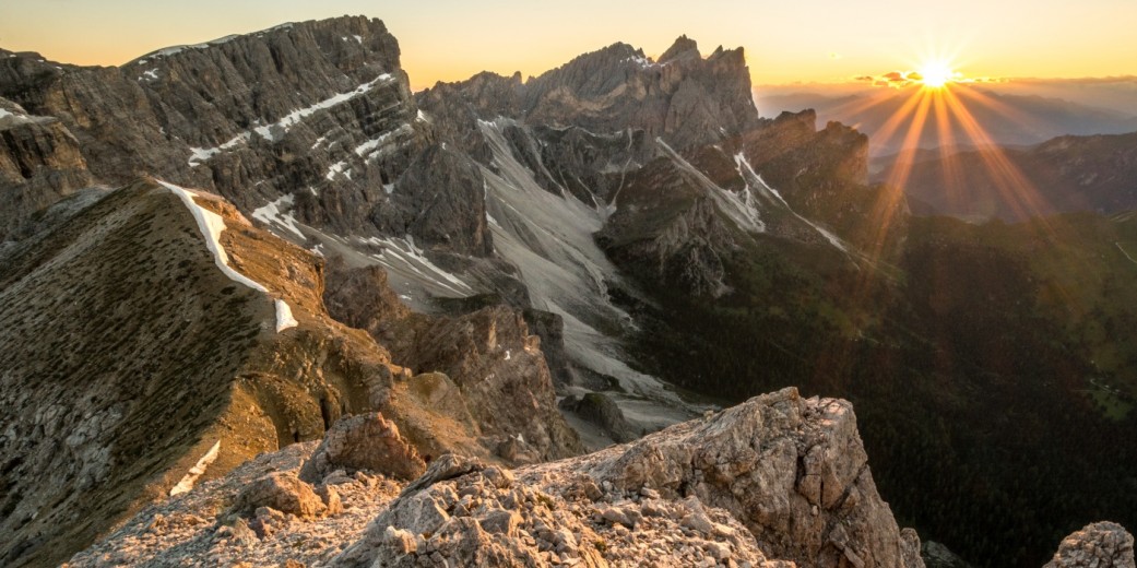
Lungiarü is surrounded by numerous Dolomite-peaks, the group of the Peitlerkofel frames the valley in the northwester parts, to the west there is the group of the Geislerspitzen and to the south you find the Puez group. Surrounded by the Puez-Geisler Nature Park (UNESCO World Heritage), Lungiarü has many breathtaking natural treasures, and provides also a good insight into the Ladin culture.
General information
Height above sea level of Lungiarü: 1,400 m
Highest point: 2,913 m (Piza de Pöz / Östliche Puezspitze)
Resident population: aabout 600 inhabitants
Village
- Lungiarü (in German Campill)
Mountain Range
- Dolomiten: Puez- und Peitlerkofelgruppe
Main Peaks
- Piza de Pöz / Östliche Puezspitze (2,913 m)
- Piz Duleda (2,909 m)
- Pütia / Peitlerkofel (2,875 m)
- Picia Pütia / Kleiner Peitlerkofel (2,813 m)
- Capuziner (2,736 m)
- Col dala Soné (2,633 m)
- Piza de Antersasc (2,471 m)
- Crëp dales Dodesc / Zwölferkofel (2,384 m)