

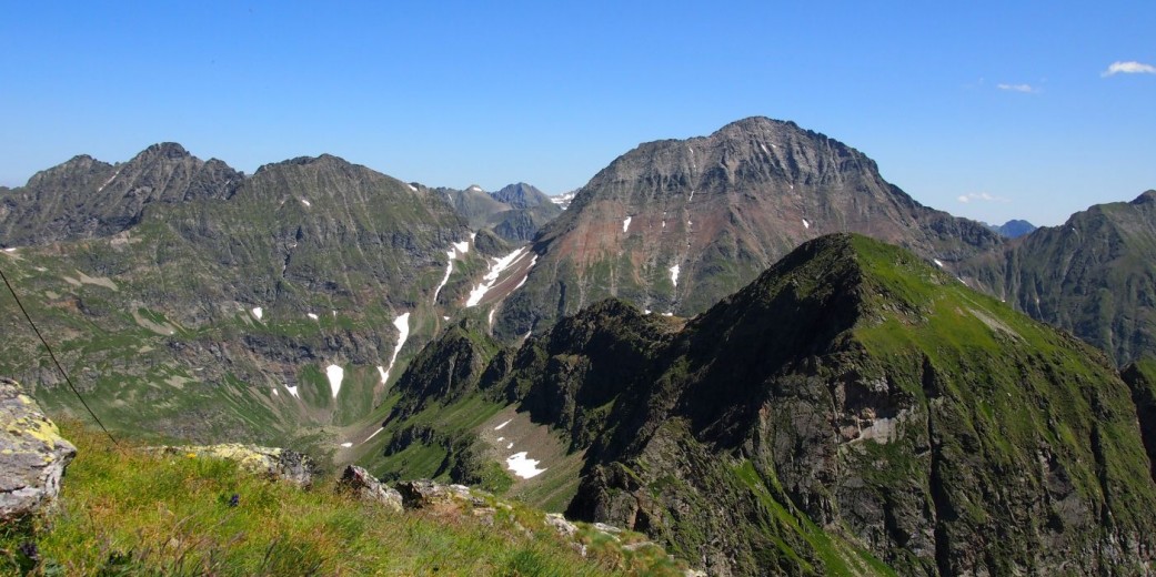


Göriach is located in Salzburg’s Lungau region, about 10 kilometres from the district capital Tamsweg. The municipality encompasses an entire valley, the Göriachtal, with an area of 44 km². It faces south and is framed by numerous mountain peaks. To the north there are the Niedere Tauern and also the highest mountain in the Lungau, the Hochgolling (2,863 m). In addition to peaks such as Samspitz (2,381 m), Scharnock (2,498 m) and Lesshöhe (2,490 m), popular destinations include the Landawirseehütte of the Lungau Section of the Austrian Alpine Club and the so called “Hüttendorf”, a mountain hut ensemble at the head of the valley. In addition to versatile hiking trails, there are also mountain bike trails, from leisurely to the Hansalhütte, situated at the end of the the valley, to challenging ones, like the multi-day tour “Lungau extrem”.
In winter, the Gumma (2,316 m) and the Gensgitsch (2,279 m) are excellent ski touring mountains. The Lungau is considered the region with the most hours of sunshine in winter in Austria, which can also be enjoyed in the valley with cross-country skiing and winter hiking.
Göriach is part of the Lungau UNESCO Biosphere Park and the northern part of the Göriach valley is part of the Niedere Tauern landscape conservation area. Grassland farming and forestry characterise the landscape in the valley. People are particularly proud of the high-quality food produced here – multi-award-winning cheese, dairy products, fine brandies, jam or honey are available from several farms. The educational bee trail in Hintergöriach not only focuses on honey production, but also on the importance of bees for human living and nature.
General information
Height above sea level of Göriach: 1.180 m
Highest point: Hochgolling 2.863 m
Resident population: 352
Hamlet
- Vordergöriach
- Wassering
- Hintergöriach
- Fern
Mountain ranges
- Niedere Tauern
Main peaks
- Hochgolling (2.863 m)
- Kreuzhöhe (2.566 m)
- Scharnock (2.498 m)
- Lesshöhe (2.490 m)
- Pietrach (2.396 m)
- Samspitz (2.381 m)
- Gumma (2.316 m)
- Gensgitsch (2.279 m)
- Trockenbrotscharte (2.237 m)