


Situated due west of the Tirolean capital, opposite the famous rock face of the Martinswand, is the entrance to the Sellraintal valley. This region is very popular in winter with skiers and Alpine tourers, as there are several summits higher than 3,000m. In the side valleys that lead deep into the Stubai Alps, ice climbers enjoy the challenge of the frozen waterfalls.
In the summer, mountains are – of course – the focal point for leisure activities. The slopes beside the Sellraintal valley shimmer in a soft pink, especially at rhododendron blossom time. Multi-day hikes, such as the Sellrainer Hüttenrunde (Mountain Hut circuit), are a special attraction at this time of year.
General information
Height above sea level of the highest settlement: 1.513 m
Highest point: 3.298 m (Lüsener Fernerkogel)
Resident population in the valley: 2.100 persons
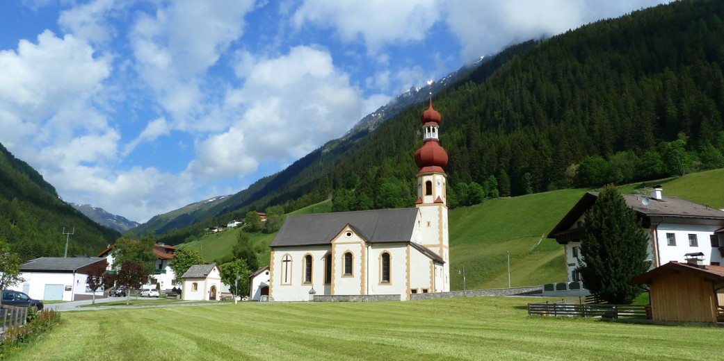
Villages
- Sellrain (909 m)
- Gries im Sellrain (1,187m)
- St. Sigmund im Sellrain (1,513m)
Mountain range
- Stubaier Alpen
Main peaks
- Lüsener Fernerkogel (3,298m)
- Hoher Seeblaskogel (3,235m)
- Gleirscher Fernerkogel (3,189m)
- Zwieselbacher Rosskogel (3,081m)
- Lisener Villerspitze (3,027m)
- Zischgeles (3,004m)
- Schöntalspitze (3,002m)
- Haidenspitze (2,975m)
- Lampsenspitze (2,876m)
- Roter Kogel (2,832m)
- Samerschlag (2,829m)
- Seejoch (2,808m)
- Pockkogel (2,807m)
- Rosskogel (2,646m)
- Freihut (2,625m)
- Windegg (2,577m)