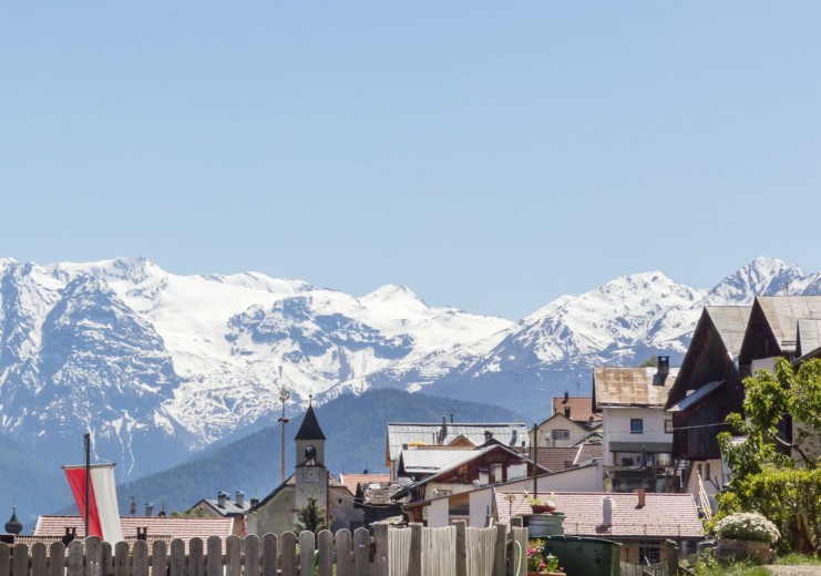
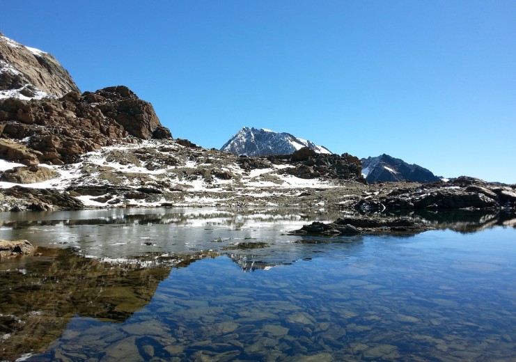
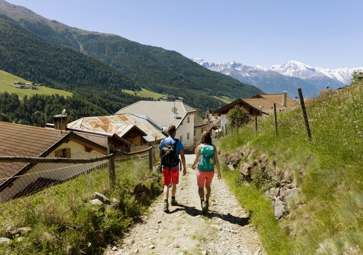
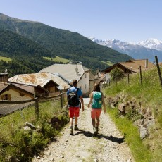
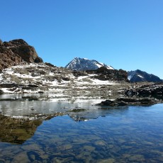
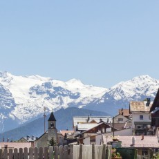
The Matsch Valley is an out-and-out paradise for hikers and mountaineers, with something to suit every taste from leisurely farm tours, lakes and Waalweg walks to summit climbs for all abilities and stunning glacier tours.
The Matsch Valley is connected by link-routes with the Schnalstal, the Langtauferer and Planeiltal Valley and even with Vent in the Ötztal Valley, another AVS Alpine Club Mountaineering Village.
The following information on time and altitude differences always refer to the actual tour described, not the alternatives, and is to be taken as a guide. For the more challenging tours, a map is always highly recommended..
Matsch – Waalweg – Glieshof
The Waalweg route is practicable for everyone and a tremendous experience, especially for children.
- Altitude difference: 250 m
- Time: 2.5 h
The newly created Waalweg trail leads from the village along the length of the valley, sunny side all the way, and is also a wonderful walk with children.
The Waalweg begins a few hundred metres above the village. First we follow the “Kuhtrei,” which branches off to the left in the upper village at the small chapel, then the Waal trail and the signs leading into the valley.
The hike can be shortened at Rastif and Thial or extended to include the Matscher Alm pasture and hut. An alternative return route is forest path No. 20, which leads back from Thial to Matsch on the other side of the valley.
Matsch - Vinschgau High Mountain Trail - Eisa -Matscher Alm
If you want to see the whole valley from up on high, this hike is ideal.
- Altitude difference: 650 m
- Time: 5 h
From the village we follow path no. 15 to the Valfurhof farm, passing below the Gondaalm mountain pasture and hut to the small Gondahütte hut on the Vinschgau High Mountain trail.
We follow the well-signposted, scenic path to the Matscher Alm mountain pasture and hut (2,045 m) via Eisa and take the forest path back to the Glieshof, from where hiking taxis or Waalweg routes take us back to the village.
Matsch - castle ruins - Bergwaal - Churburg
Easy hike in the footsteps of the Matsch robber barons to the castle ruins and along the Schluderns Waalwege irrigation channel trail to Churburg.
- Altitude difference: 600 m
- Time: 2.5 h
From the village square in Matsch we descend through the district of “Winkel,” past Somblimas below the village to the Kartatscher farms in the bottom of the valley. We then follow the tarred road to the Schlosshof farm and up to the castle hill with the two ruins of the Ober- and Untermatsch fortresses, where we are rewarded with a beautiful view of the Ortler.
From the “Gschlossbiechl” back to the Schlosshof we take the forest road on the left down to the river. Following the river, we reach the fork of the two Waalwege irrigation channel trails, the Bergwaal and the Leitenwaal. On its way out of the Matsch Valley, the Saldurbach flows from above Schluderns through the Saldurschlucht Gully to the mouth of the Etsch River. It is here that the Bergwaal and the Leitenwaal “collect” the water which they transport to the sunny slopes of the Vinschgau.
The Bergwaal leads on along the eastern flank of the Saldurschlucht gully, while the Leitenwaal takes the western side and supplies these slopes with water. The Bergwaal route of wooden channels and bridges crosses a number of steep slopes and chasms. In some parts of the route, rock walls had to be broken through in order to build the irrigation channel. Deep in the Saldurschlucht Gully, the Bergwaal meets the Saldurbach River, where we cross a bridge and, on the other side, follow the Leitenwaal to Schluderns and the prehistoric excavations at the Ganglegg (ruins, rest huts, information boards). The two No. 17 Waalwege routes are spectacular, easy to walk, and secured.
Farm walk
This farm hike leads mostly along tarred roads, boasts excellent views of the village and is also suitable for children.
- Time: 3.5 hours for the entire loop route
From the end of the village, the road leads down to the Mühlhöfen farms (1,479 m). We now walk up to Patzleid and continue on the Höfestrasse farm trail to the lower Runhöfen farms (1.608 m – Hahnenhof and Aviunshof). During the winter months in particular, the sun shines for longer here. For the return leg, take trail no 20b down to the Schlosshof farm and past Kartatsch back to the village.
Runhöfe – Remstal – Runerköpfl –Runermader – Runhöfe
A smaller, leisurely summit hike takes us from Oberrun along forest road no. 23 to Remstal. We hike on to the upper Remsboden and the Remshütte mountain hut and climb up to the right to the Runerköpfl (2,585 m) with its small wooden cross.
- Altitude difference: 880 m
- Time: 3.5 hours from Oberrun to Runerköpfl
From the small summit we descend along the front slopes to the Runermader.
The Matsch Valley is an out-and-out paradise for hikers and mountaineers, with something to suit every taste from leisurely farm tours, lakes and Waalweg walks to summit climbs for all abilities and stunning glacier tours.
The Matsch Valley is connected by link-routes with the Schnalstal, the Langtauferer and Planeiltal Valley and even with Vent in the Ötztal Valley, another AVS Alpine Club Mountaineering Village.
The following information on time and altitude differences always refer to the actual tour described, not the alternatives, and is to be taken as a guide. For the more challenging tours, a map is always highly recommended.
Matsch – Waalweg – Glieshof
The Waalweg route is practicable for everyone and a tremendous experience, especially for children.
- Altitude difference: 250 m
- Time: 2.5 h
The newly created Waalweg trail leads from the village along the length of the valley, sunny side all the way, and is also a wonderful walk with children.
The Waalweg begins a few hundred metres above the village. First we follow the “Kuhtrei,” which branches off to the left in the upper village at the small chapel, then the Waal trail and the signs leading into the valley.
The hike can be shortened at Rastif and Thial or extended to include the Matscher Alm pasture and hut. An alternative return route is forest path No. 20, which leads back from Thial to Matsch on the other side of the valley.
Matsch - Vinschgau High Mountain Trail - Eisa -Matscher Alm
If you want to see the whole valley from up on high, this hike is ideal.
- Altitude difference: 650 m
- Time: 5 h
From the village we follow path no. 15 to the Valfurhof farm, passing below the Gondaalm mountain pasture and hut to the small Gondahütte hut on the Vinschgau High Mountain trail.
We follow the well-signposted, scenic path to the Matscher Alm mountain pasture and hut (2,045 m) via Eisa and take the forest path back to the Glieshof, from where hiking taxis or Waalweg routes take us back to the village.
Matsch - castle ruins - Bergwaal - Churburg
Easy hike in the footsteps of the Matsch robber barons to the castle ruins and along the Schluderns Waalwege irrigation channel trail to Churburg.
- Altitude difference: 600 m
- Time: 2.5 h
From the village square in Matsch we descend through the district of “Winkel,” past Somblimas below the village to the Kartatscher farms in the bottom of the valley. We then follow the tarred road to the Schlosshof farm and up to the castle hill with the two ruins of the Ober- and Untermatsch fortresses, where we are rewarded with a beautiful view of the Ortler.
From the “Gschlossbiechl” back to the Schlosshof we take the forest road on the left down to the river. Following the river, we reach the fork of the two Waalwege irrigation channel trails, the Bergwaal and the Leitenwaal. On its way out of the Matsch Valley, the Saldurbach flows from above Schluderns through the Saldurschlucht Gully to the mouth of the Etsch River. It is here that the Bergwaal and the Leitenwaal “collect” the water which they transport to the sunny slopes of the Vinschgau.
The Bergwaal leads on along the eastern flank of the Saldurschlucht gully, while the Leitenwaal takes the western side and supplies these slopes with water. The Bergwaal route of wooden channels and bridges crosses a number of steep slopes and chasms. In some parts of the route, rock walls had to be broken through in order to build the irrigation channel. Deep in the Saldurschlucht Gully, the Bergwaal meets the Saldurbach River, where we cross a bridge and, on the other side, follow the Leitenwaal to Schluderns and the prehistoric excavations at the Ganglegg (ruins, rest huts, information boards). The two No. 17 Waalwege routes are spectacular, easy to walk, and secured.
Farm walk
This farm hike leads mostly along tarred roads, boasts excellent views of the village and is also suitable for children.
- Time: 3.5 hours for the entire loop route
From the end of the village, the road leads down to the Mühlhöfen farms (1,479 m). We now walk up to Patzleid and continue on the Höfestrasse farm trail to the lower Runhöfen farms (1.608 m – Hahnenhof and Aviunshof). During the winter months in particular, the sun shines for longer here. For the return leg, take trail no 20b down to the Schlosshof farm and past Kartatsch back to the village.
Runhöfe – Remstal – Runerköpfl –Runermader – Runhöfe
A smaller, leisurely summit hike takes us from Oberrun along forest road no. 23 to Remstal. We hike on to the upper Remsboden and the Remshütte mountain hut and climb up to the right to the Runerköpfl (2,585 m) with its small wooden cross.
- Altitude difference: 880 m
- Time: 3.5 hours from Oberrun to Runerköpfl
From the small summit we descend along the front slopes to the Runermader.
