Watzmann - Gugl (1,801 m)
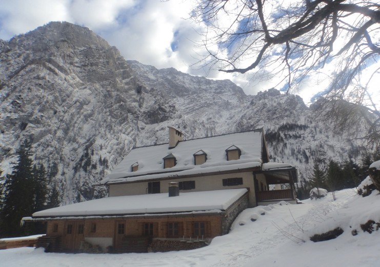
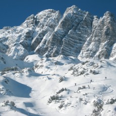
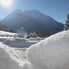
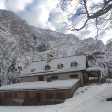
A forest road takes you from the parking lot to the buildings of the Stubenalm. Thereafter you follow forest clearings alle the way to the plateau of the Gugl.
The descent follows your uphill tracks.
This backcountry ski trip is an ideal itinerary if avalanche danger is high and unstable snow pack prevails above the tree line.
- Distance (in total): 9.5 km
- Elevation gain: 1,170 m
- Duration: 3 ½ hours
- Degree of difficulty: simple
- Starting point: public parking Wimbachbrücke
Partner lodges in close vincinity to the starting point
Watzmannkar - 3. Kind (2,232 m)
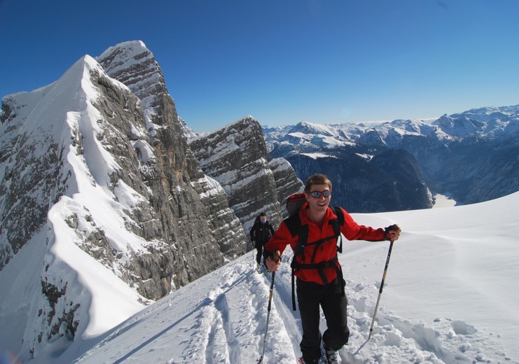
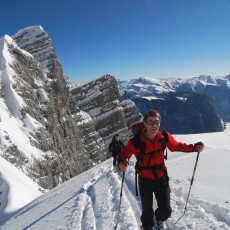
This is a long, but one of the most popular and most rewarding backcountry ski trips of the area. The only down side: the beginning of the trip starts with a long forest road into the valley and through the forested lower part. As soon as you have managed that bit, you reach the large and wide cirque that leads all the way to the ridge just east of the Watzmann central peak.
- Distance (one way): 8 km
- Elevation gain: 1,800 m
- Duration: 4 hours
- Degree of difficulty: advanced
- Starting point: public parking Wimbachbrücke
Descent along the uphill track.
Attention please: the ploughhed forst road is also used as a for toboganning. Do not block the track and keep right!
Partner lodges in close vincinity to the starting point
Hochalm (2,012 m)
This is one of the most popular backcountry ski trips of the area!
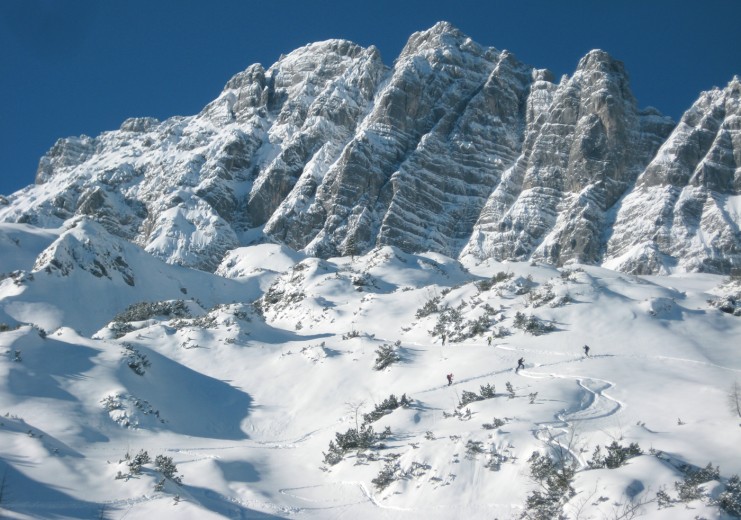
On the trip you are not exactly reaching an actual summit, but it takes you deep into the heart of the Hochkalter massiv. The sourrounding rock faces of the Blaueisspitze are impressive and tend to preserve powder for quite a while.
- Distance (one way): 6.5 km
- Elevation gain: 1,350 m
- Duration: 3 ½ hours
- Degree of difficulty: advanced
- Starting point: public parking Pfeiffenmacherbrücke
Partner lodges in close vincinity to the starting point
- Guesthouse Martinsklause
- Guesthouse Karolina
- Guesthouse Oslhof
- Mountain hotel Rehlegg
- Wirtshaus Waldquelle
Hundstod - Reib'n
The Hundstod is a isolated peak in the heart of the Berchtesgaden Alps and the National Park. The bavarian expression “Reib’n” can be roughly translated to “looping the peak”. This undertaking will take you to a very remote and isolated area in winter, where not too big crowds need to be expted.
A large part of this trip though is the ascent of the the entire Wimbachgries – a long, rather flat but magical floodplain.
- Distance (in total): 33.5 km
- Elevation gain: 2,380 m
- Duration: 8-10 hours
- Degree of difficulty: difficult, for experienced ski mountaineers only!
- Starting point: public parking Wimbachbrücke
.At the end of the Wimbachgries you need to find a track through a steep and narrow section – the so called “Trischübel”. Evaluate the avalanche situation carefully!
You pass the summit of the Hundstod on its east side to reach a saddle called Dießbacheck. Descent about 350 m to the Hochwies, put your skins back on and continue in a nortwesterly direction aiming for the Leoganger Seilergraben. Again, check the snow conditions carefully, as parts of the descent into the Leoganger Seilergraben are steep.
In order to enjoy the trip to its fullest and to be safe, an excellent endurance level is a prerequisite. Also, be sure that the snow conditions are very safe, in order to be able to descent into the Leoganger Seilergraben safely. If you have to turn around at that point, it is a very long way home and you might get into trouble… Be aware that you won’t have a cell phone signal for a longer time during the trip.


